
GIS and Spatial Data Services
At Spencer, we leverage GIS technology and spatial data to turn complex information into clear, actionable insight. Our team delivers practical GIS solutions from field data collection to advanced spatial analysis that support informed decision‑making across environmental, planning, and regulatory projects.
GIS solutions built on the Esri platform
ArcGIS Online integration and collaboration
Data management solutions
Digital field data collection and mobile GIS
Advanced spatial analysis and modeling
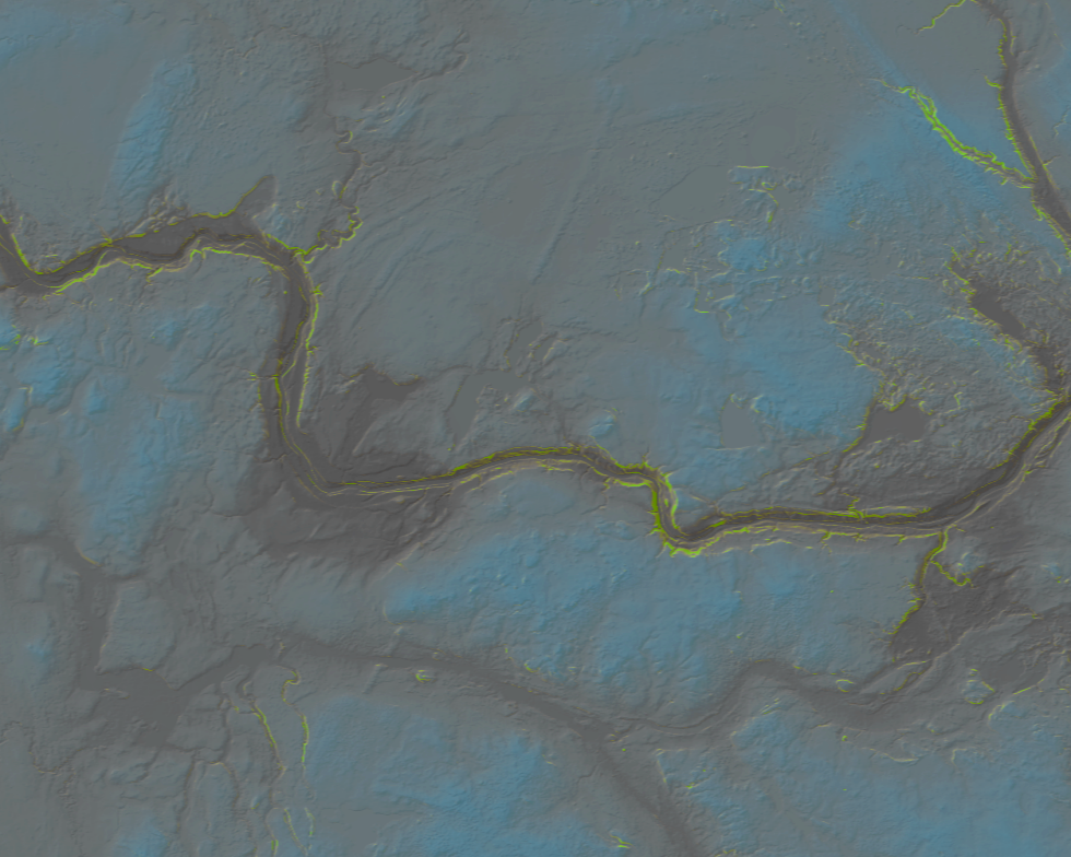
Professional mapping and visualization
Remote sensing and imagery integration
Custom GIS workflows and automation
Full environmental and regulatory workflow
Spatial analytics and decision support